
Local community Šuica topographic map
Interactive map
Click on the map to display elevation.
About this map
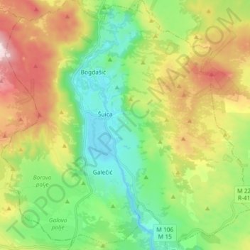
Name: Local community Šuica topographic map, elevation, terrain.
Average elevation: 3,871 ft
Minimum elevation: 2,992 ft
Maximum elevation: 5,400 ft