
Lac-Pemichangan topographic map
Interactive map
Click on the map to display elevation.
About this map
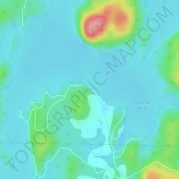
Name: Lac-Pemichangan topographic map, elevation, terrain.
Average elevation: 610 ft
Minimum elevation: 545 ft
Maximum elevation: 942 ft
Other topographic maps
Click on a map to view its topography, its elevation and its terrain.
Lac du Castor Blanc
Canada > Québec > Gracefield > Blue Sea
Lac du Castor Blanc, Blue Sea, La Vallée-de-la-Gatineau, Outaouais, Québec, Canada
Average elevation: 663 ft
Lac Heney
Canada > Québec > Gracefield > Gracefield
Lac Heney, Chemin du Lac-Heney, Gracefield, La Vallée-de-la-Gatineau, Outaouais, Québec, Canada
Average elevation: 597 ft