
Gaddani topographic map
Interactive map
Click on the map to display elevation.
About this map
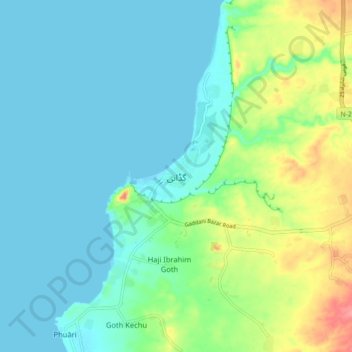
Name: Gaddani topographic map, elevation, terrain.
Location: Gaddani, Lasbela District, Balochistan, 90300, Pakistan (25.07912 66.69218 25.15912 66.77218)
Average elevation: 66 ft
Minimum elevation: 0 ft
Maximum elevation: 272 ft