
Villy topographic map
Interactive map
Click on the map to display elevation.
About this map
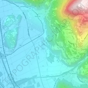
Name: Villy topographic map, elevation, terrain.
Location: Villy, District d'Aigle, Vaud, 1867, Suisse (46.26344 6.97754 46.30344 7.01754)
Average elevation: 1,811 ft
Minimum elevation: 1,266 ft
Maximum elevation: 4,357 ft