
Nambí topographic map
Interactive map
Click on the map to display elevation.
About this map
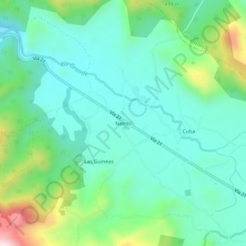
Name: Nambí topographic map, elevation, terrain.
Location: Nambí, Cantón Nicoya, Provincia Guanacaste, Costa Rica (10.18711 -85.52104 10.22711 -85.48104)
Average elevation: 686 ft
Minimum elevation: 295 ft
Maximum elevation: 1,844 ft