
Tierra Verde topographic map
Click on the map to display elevation.
About this map
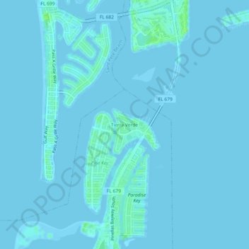
Name: Tierra Verde topographic map, elevation, terrain.
Location: Tierra Verde, Pinellas County, Florida, 33715, United States (27.67197 -82.74343 27.71197 -82.70343)
Average elevation: 3 ft
Minimum elevation: -7 ft
Maximum elevation: 33 ft
Pinellas County trails, hiking, mountain biking, running and outdoor activities
Other topographic maps
Click on a map to view its topography, its elevation and its terrain.
Pine Key
United States > Florida > Pinellas County > Tierra Verde > Tierra Verde
Average elevation: 3 ft