
Santa Rosa topographic map
Interactive map
Click on the map to display elevation.
About this map
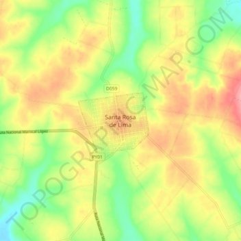
Name: Santa Rosa topographic map, elevation, terrain.
Location: Santa Rosa, Misiones, Región Oriental, Paraguay (-26.92638 -56.88918 -26.84638 -56.80918)
Average elevation: 568 ft
Minimum elevation: 400 ft
Maximum elevation: 738 ft