
Thank you for supporting this site ❤️
Make a donation
Make a donation
Gear up for your next adventure:
As an Amazon Associate, this site earns from qualifying purchases at no extra cost to you.
Bağlıca topographic map
Click on the map to display elevation.
Thank you for supporting this site ❤️
Make a donation
Make a donation
Gear up for your next adventure:
As an Amazon Associate, this site earns from qualifying purchases at no extra cost to you.
About this map
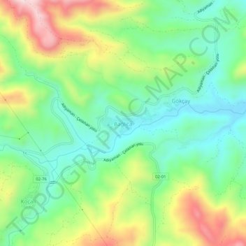
Name: Bağlıca topographic map, elevation, terrain.
Location: Bağlıca, Adıyaman, Southeastern Anatolia Region, Turkey (37.91578 38.25701 37.95578 38.29701)
Average elevation: 3,878 ft
Minimum elevation: 3,301 ft
Maximum elevation: 4,908 ft
Thank you for supporting this site ❤️
Make a donation
Make a donation
Gear up for your next adventure:
As an Amazon Associate, this site earns from qualifying purchases at no extra cost to you.