
Lawngtlai topographic map
Interactive map
Click on the map to display elevation.
About this map
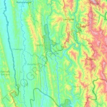
Name: Lawngtlai topographic map, elevation, terrain.
Location: Lawngtlai, Mizoram, 796891, India (22.06056 92.62161 22.63025 92.96503)
Average elevation: 1,640 ft
Minimum elevation: 135 ft
Maximum elevation: 6,900 ft