
Thank you for supporting this site ❤️
Make a donation
Make a donation
Gear up for your next adventure:
As an Amazon Associate, this site earns from qualifying purchases at no extra cost to you.
Jaglot topographic map
Click on the map to display elevation.
Thank you for supporting this site ❤️
Make a donation
Make a donation
Gear up for your next adventure:
As an Amazon Associate, this site earns from qualifying purchases at no extra cost to you.
About this map
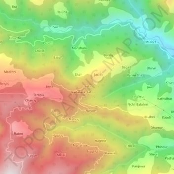
Name: Jaglot topographic map, elevation, terrain.
Location: Jaglot, Karsog, Mandi, Himachal Pradesh, 175011, India (31.34795 77.27665 31.38795 77.31665)
Average elevation: 5,443 ft
Minimum elevation: 3,583 ft
Maximum elevation: 7,418 ft
Thank you for supporting this site ❤️
Make a donation
Make a donation
Gear up for your next adventure:
As an Amazon Associate, this site earns from qualifying purchases at no extra cost to you.