
Yeehaw Junction topographic map
Click on the map to display elevation.
About this map
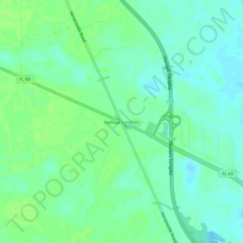
Name: Yeehaw Junction topographic map, elevation, terrain.
Location: Yeehaw Junction, Osceola County, Florida, United States (27.67978 -80.92432 27.71978 -80.88432)
Average elevation: 69 ft
Minimum elevation: 49 ft
Maximum elevation: 85 ft
Osceola County trails, hiking, mountain biking, running and outdoor activities
Other topographic maps
Click on a map to view its topography, its elevation and its terrain.