
Aït Zellal topographic map
Interactive map
Click on the map to display elevation.
About this map
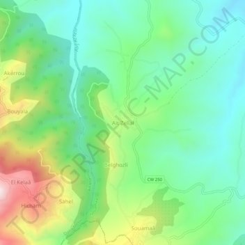
Name: Aït Zellal topographic map, elevation, terrain.
Location: Aït Zellal, Souamaâ, Daïra Mekla, Tizi Ouzou, Algérie (36.63944 4.31808 36.67944 4.35808)
Average elevation: 1,270 ft
Minimum elevation: 594 ft
Maximum elevation: 2,733 ft