
喀拉达拉镇 topographic map
Interactive map
Click on the map to display elevation.
About this map
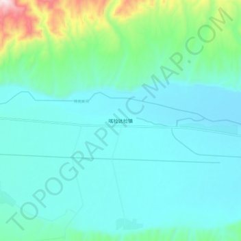
Name: 喀拉达拉镇 topographic map, elevation, terrain.
Location: 喀拉达拉镇, 特克斯县, 伊犁哈萨克自治州, 新疆维吾尔自治区, 中国 (43.18919 82.05208 43.26919 82.13208)
Average elevation: 3,829 ft
Minimum elevation: 3,432 ft
Maximum elevation: 5,781 ft