Geolocate

Mount Garland topographic map

Click on the map to display elevation.

About this map

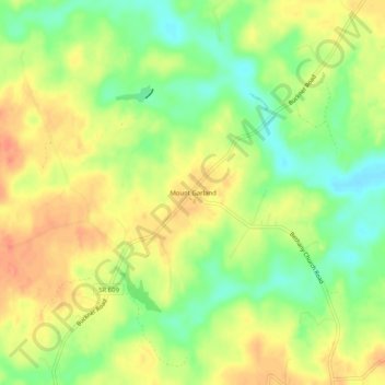
Name: Mount Garland topographic map, elevation, terrain.

Location: Mount Garland, Louisa County, Virginia, United States (37.91570 -77.83194 37.95570 -77.79194)

Average elevation: 292 ft

Minimum elevation: 210 ft

Maximum elevation: 361 ft

Louisa County trails, hiking, mountain biking, running and outdoor activities

Gear up for your next adventure:

🪶Thermal Camp Blanket - Extra warmth for cold nights
🧷Carabiner Set - Durable clips for gear attachment
🪶Compact Camp Shovel - Folding shovel for campsite tasks
🦺Reflective Outdoor Gear - Safety gear for low‑light conditions
🔦LED Headlamp - Bright and durable LED headlamp for night navigation

As an Amazon Associate, this site earns from qualifying purchases at no extra cost to you.