
San Javier topographic map
Interactive map
Click on the map to display elevation.
About this map
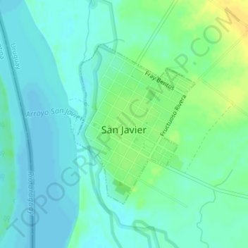
Name: San Javier topographic map, elevation, terrain.
Location: San Javier, Río Negro, 65001, Uruguay (-32.67464 -58.14029 -32.65717 -58.12380)
Average elevation: 26 ft
Minimum elevation: 0 ft
Maximum elevation: 79 ft