
腰堡镇 topographic map
Interactive map
Click on the map to display elevation.
About this map
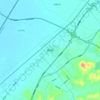
Name: 腰堡镇 topographic map, elevation, terrain.
Location: 腰堡镇, 铁岭县, 铁岭市, 辽宁省, 中国 (42.12612 123.63959 42.20612 123.71959)
Average elevation: 217 ft
Minimum elevation: 167 ft
Maximum elevation: 604 ft