
كجبار topographic map
Interactive map
Click on the map to display elevation.
About this map
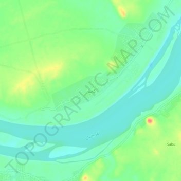
Name: كجبار topographic map, elevation, terrain.
Location: كجبار, Norden, Sudan (19.92518 30.51107 19.96518 30.55107)
Average elevation: 705 ft
Minimum elevation: 640 ft
Maximum elevation: 840 ft