
Rožaje topographic map
Interactive map
Click on the map to display elevation.
About this map
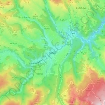
Name: Rožaje topographic map, elevation, terrain.
Location: Rožaje, Rožaje Municipality, 84310, Montenegro (42.80167 20.12597 42.88167 20.20597)
Average elevation: 3,957 ft
Minimum elevation: 3,058 ft
Maximum elevation: 5,577 ft