
Boulguertoum topographic map
Interactive map
Click on the map to display elevation.
About this map
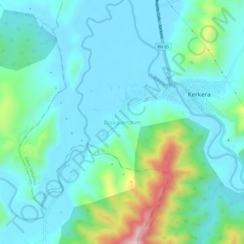
Name: Boulguertoum topographic map, elevation, terrain.
Location: Boulguertoum, Kerkera, Daïra Tamalous, Skikda, 21019, Algérie (36.90588 6.54846 36.94588 6.58846)
Average elevation: 246 ft
Minimum elevation: 13 ft
Maximum elevation: 1,207 ft