
Weaverville topographic map
Click on the map to display elevation.
About this map
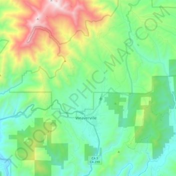
Name: Weaverville topographic map, elevation, terrain.
Location: Weaverville, Trinity County, California, United States (40.68097 -123.00487 40.83177 -122.88697)
Average elevation: 3,189 ft
Minimum elevation: 1,493 ft
Maximum elevation: 7,648 ft
Trinity County trails, hiking, mountain biking, running and outdoor activities
Other topographic maps
Click on a map to view its topography, its elevation and its terrain.