
Defford topographic map
Click on the map to display elevation.
About this map
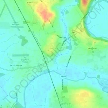
Name: Defford topographic map, elevation, terrain.
Location: Defford, Wychavon, Worcestershire, England, United Kingdom (52.06952 -2.15833 52.10262 -2.11160)
Average elevation: 69 ft
Minimum elevation: 30 ft
Maximum elevation: 180 ft