
Gökova topographic map
Interactive map
Click on the map to display elevation.
About this map
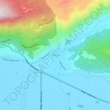
Name: Gökova topographic map, elevation, terrain.
Location: Gökova, Ula, Muğla, Aegean Region, 48660, Turkey (37.03563 28.34512 37.07563 28.38512)
Average elevation: 636 ft
Minimum elevation: 3 ft
Maximum elevation: 2,927 ft