
Forty Five topographic map
Interactive map
Click on the map to display elevation.
About this map
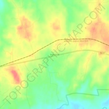
Name: Forty Five topographic map, elevation, terrain.
Location: Forty Five, Fayette County, Tennessee, USA (35.03731 -89.32896 35.07731 -89.28896)
Average elevation: 456 ft
Minimum elevation: 354 ft
Maximum elevation: 548 ft