
Särna topographic map
Interactive map
Click on the map to display elevation.
About this map
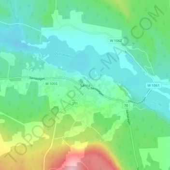
Name: Särna topographic map, elevation, terrain.
Location: Särna, Älvdalens kommun, Dalecarlia, Region Svealand, Sweden (61.67316 13.12230 61.71316 13.16230)
Average elevation: 1,522 ft
Minimum elevation: 1,352 ft
Maximum elevation: 2,011 ft