
Aschland topographic map
Interactive map
Click on the map to display elevation.
About this map
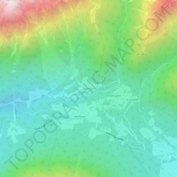
Name: Aschland topographic map, elevation, terrain.
Location: Aschland, Obsteig, Bezirk Imst, 6416, Österreich (47.29526 10.86809 47.33526 10.90809)
Average elevation: 4,337 ft
Minimum elevation: 2,904 ft
Maximum elevation: 7,995 ft