
Tholthorpe topographic map
Interactive map
Click on the map to display elevation.
About this map
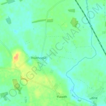
Name: Tholthorpe topographic map, elevation, terrain.
Location: Tholthorpe, North Yorkshire, England, United Kingdom (54.08560 -1.30823 54.11133 -1.24140)
Average elevation: 62 ft
Minimum elevation: 33 ft
Maximum elevation: 128 ft