
屈库勒克达坂 topographic map
Interactive map
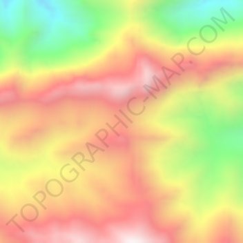
Click on the map to display elevation.
About this map
Name: 屈库勒克达坂 topographic map, elevation, terrain.
Location: 屈库勒克达坂, 阿羌镇, 且末县, 巴音郭楞蒙古自治州, 新疆维吾尔自治区, 中国 (37.06108 85.29570 37.08108 85.31570)
Average elevation: 15,338 ft
Minimum elevation: 13,573 ft
Maximum elevation: 16,686 ft