
Town of Barnstable Public Lands topographic map
Interactive map
Click on the map to display elevation.
About this map
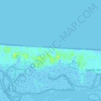
Name: Town of Barnstable Public Lands topographic map, elevation, terrain.
Average elevation: 3 ft
Minimum elevation: -3 ft
Maximum elevation: 49 ft
Other topographic maps
Click on a map to view its topography, its elevation and its terrain.
West Barnstable
United States > Massachusetts > Barnstable County > Barnstable > West Barnstable
West Barnstable, Barnstable, Barnstable County, Massachusetts, 02668, United States
Average elevation: 49 ft