
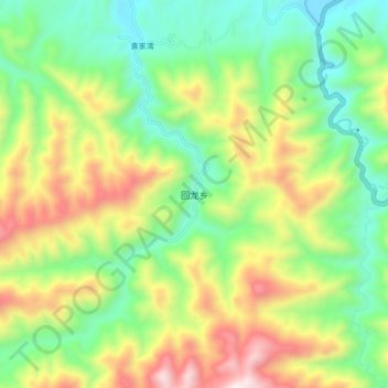
回龙乡 topographic map
Interactive map
Click on the map to display elevation.
About this map
Name: 回龙乡 topographic map, elevation, terrain.
Location: 回龙乡, 房县, 十堰市, 湖北省, 中国 (31.94330 110.60823 32.02330 110.68823)
Average elevation: 2,884 ft
Minimum elevation: 1,558 ft
Maximum elevation: 5,059 ft