
Franklin Park Natural Area topographic map
Interactive map
Click on the map to display elevation.
About this map
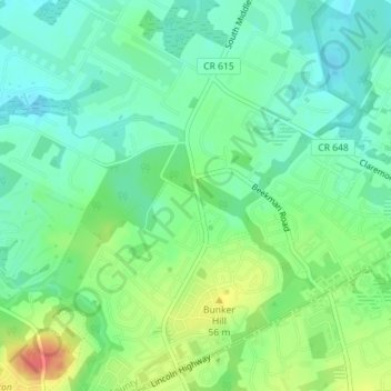
Name: Franklin Park Natural Area topographic map, elevation, terrain.
Average elevation: 131 ft
Minimum elevation: 69 ft
Maximum elevation: 243 ft
Other topographic maps
Click on a map to view its topography, its elevation and its terrain.
Blackwells Mills
United States > New Jersey > Somerset County > Franklin Township
Blackwells Mills, Franklin Township, Somerset County, New Jersey, 08823, United States
Average elevation: 79 ft
Somerset
United States > New Jersey > Somerset County > Franklin Township
Somerset, Franklin Township, Somerset County, New Jersey, 08873, United States
Average elevation: 85 ft
Middlebush
United States > New Jersey > Somerset County > Franklin Township
Middlebush, Franklin Township, Somerset County, New Jersey, 08873, United States
Average elevation: 102 ft