
三学寺 topographic map
Interactive map
Click on the map to display elevation.
About this map
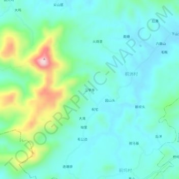
Name: 三学寺 topographic map, elevation, terrain.
Location: 三学寺, 前洲村, 六都乡, 玉山县, 上饶市, 江西省, 中国 (28.55675 118.31648 28.59675 118.35648)
Average elevation: 650 ft
Minimum elevation: 400 ft
Maximum elevation: 1,532 ft