
Chuma topographic map
Interactive map
Click on the map to display elevation.
About this map
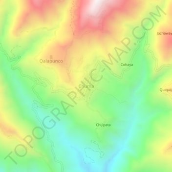
Name: Chuma topographic map, elevation, terrain.
Location: Chuma, Provincia Muñecas, LPZ, Bolivia (-15.49991 -68.91831 -15.45991 -68.87831)
Average elevation: 9,101 ft
Minimum elevation: 7,697 ft
Maximum elevation: 11,004 ft