
Île Dupas topographic map
Interactive map
Click on the map to display elevation.
About this map
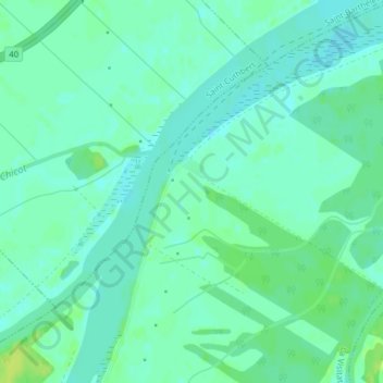
Name: Île Dupas topographic map, elevation, terrain.
Average elevation: 23 ft
Minimum elevation: 3 ft
Maximum elevation: 49 ft
Other topographic maps
Click on a map to view its topography, its elevation and its terrain.
Île Saint-Amour
Canada > Québec > D'Autray > La Visitation-de-l'Île-Dupas > La Visitation de-l'île-Dupas
Île Saint-Amour, La Visitation de-l'île-Dupas, La Visitation-de-l'Île-Dupas, D'Autray, Lanaudière, Québec, J0K 2P0, Canada
Average elevation: 30 ft