
La Castellana y El Pilar topographic map
Interactive map
Click on the map to display elevation.
About this map
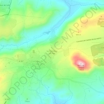
Name: La Castellana y El Pilar topographic map, elevation, terrain.
Average elevation: 2,585 ft
Minimum elevation: 2,215 ft
Maximum elevation: 3,350 ft