
Make a donation
Gear up for your next adventure:
As an Amazon Associate, this site earns from qualifying purchases at no extra cost to you.
Monselice topographic map
Click on the map to display elevation.
Make a donation
Gear up for your next adventure:
As an Amazon Associate, this site earns from qualifying purchases at no extra cost to you.
Monselice
The modern town lies in a wide valley between the Montericco, elevation 312 metres (1,024 ft), and the Rocca, elevation 110 metres (360 ft), hills (part of the Euganean Hills).
Make a donation
Gear up for your next adventure:
As an Amazon Associate, this site earns from qualifying purchases at no extra cost to you.
About this map
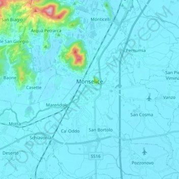
Name: Monselice topographic map, elevation, terrain.
Location: Monselice, Padova, Veneto, 35043, Italy (45.18765 11.69656 45.28679 11.81688)
Average elevation: 75 ft
Minimum elevation: -7 ft
Maximum elevation: 1,280 ft
Make a donation
Gear up for your next adventure:
As an Amazon Associate, this site earns from qualifying purchases at no extra cost to you.