
Задубье topographic map
Interactive map
Click on the map to display elevation.
About this map
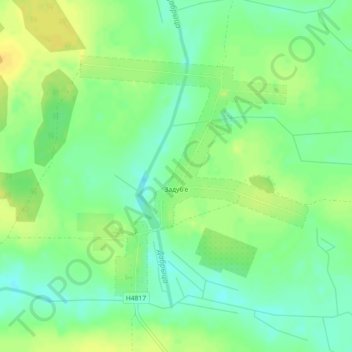
Name: Задубье topographic map, elevation, terrain.
Average elevation: 512 ft
Minimum elevation: 472 ft
Maximum elevation: 551 ft
Other topographic maps
Click on a map to view its topography, its elevation and its terrain.
Ржавка
Беларусь > Гомельская область > Кормянский район > Староградский сельский Совет
Ржавка, Староградский сельский Совет, Кормянский район, Гомельская область, Беларусь
Average elevation: 509 ft