
Castro Marim topographic map
Interactive map
Click on the map to display elevation.
About this map
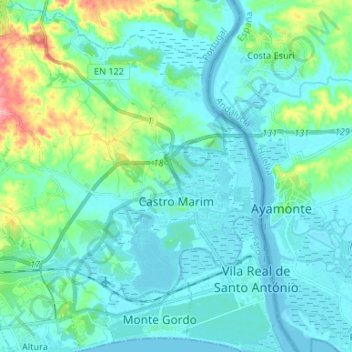
Name: Castro Marim topographic map, elevation, terrain.
Location: Castro Marim, Faro, Algarve, Portugal (37.17287 -7.53934 37.27840 -7.41257)
Average elevation: 72 ft
Minimum elevation: -10 ft
Maximum elevation: 420 ft