
Augedal topographic map
Interactive map
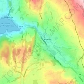
Click on the map to display elevation.
About this map
Name: Augedal topographic map, elevation, terrain.
Location: Augedal, Brandbu, Gran, Innlandet, 2760, Norwegen (60.39956 10.48105 60.43956 10.52105)
Average elevation: 771 ft
Minimum elevation: 430 ft
Maximum elevation: 1,289 ft