
Casal de Santa Iria topographic map
Interactive map
Click on the map to display elevation.
About this map
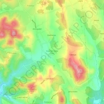
Name: Casal de Santa Iria topographic map, elevation, terrain.
Average elevation: 630 ft
Minimum elevation: 423 ft
Maximum elevation: 876 ft
Other topographic maps
Click on a map to view its topography, its elevation and its terrain.
Pias
Portugal > Santarém > Ferreira do Zêzere > Pias
Pias, Ferreira do Zêzere, Santarém, 2240-347, Portugal
Average elevation: 843 ft