
Vianen topographic map
Interactive map
Click on the map to display elevation.
About this map
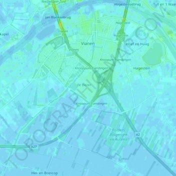
Name: Vianen topographic map, elevation, terrain.
Location: Vianen, Vijfheerenlanden, Utrecht, Nederland (51.94612 5.04040 52.00304 5.12256)
Average elevation: 7 ft
Minimum elevation: -10 ft
Maximum elevation: 62 ft
Other topographic maps
Click on a map to view its topography, its elevation and its terrain.
Meerkerk
Nederland > Utrecht > Vijfheerenlanden
Meerkerk, Vijfheerenlanden, Utrecht, Nederland
Average elevation: -3 ft