
Countess of Chester Country Park topographic map
Interactive map
Click on the map to display elevation.
About this map
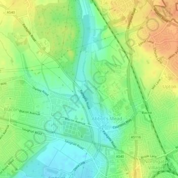
Name: Countess of Chester Country Park topographic map, elevation, terrain.
Average elevation: 69 ft
Minimum elevation: 13 ft
Maximum elevation: 128 ft
Other topographic maps
Click on a map to view its topography, its elevation and its terrain.
Roman Fort
United Kingdom > England > Cheshire West and Chester > Chester
Roman Fort, Sandy Lane, Caldy Valley, Huntington, Chester, Cheshire West and Chester, North West England, England, CH3 6GS, United Kingdom
Average elevation: 69 ft
Chester Castle
United Kingdom > England > Cheshire West and Chester > Chester
Chester Castle, City Walls, Chester Castle, Chester, Cheshire West and Chester, North West England, England, CH1 1SG, United Kingdom
Average elevation: 59 ft
Poulton
United Kingdom > England > Cheshire West and Chester > Chester
Poulton, Poulton and Pulford, Chester, Cheshire West and Chester, England, CH4 9EE, United Kingdom
Average elevation: 46 ft