Geolocate

Desert topographic map

Click on the map to display elevation.

About this map

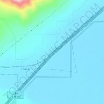
Name: Desert topographic map, elevation, terrain.

Location: Desert, Fernley, Churchill County, Nevada, United States (39.64771 -119.16806 39.66771 -119.14806)

Average elevation: 4,091 ft

Minimum elevation: 4,006 ft

Maximum elevation: 4,964 ft

Churchill County trails, hiking, mountain biking, running and outdoor activities

Gear up for your next adventure:

🧭Hiking Compass - Precision compass for reliable navigation in the wilderness
🪑Portable Camp Table - Compact table for campsite meals
🛌Ultralight Sleeping Bags - Compact down bags for cold nights in the wilderness
🪶Compact Camp Shovel - Folding shovel for campsite tasks
📶Satellite Messenger - Communication device off‑grid

As an Amazon Associate, this site earns from qualifying purchases at no extra cost to you.