
西江镇 topographic map
Interactive map
Click on the map to display elevation.
About this map
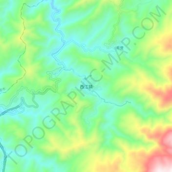
Name: 西江镇 topographic map, elevation, terrain.
Location: 西江镇, 黔东南苗族侗族自治州, Guizhou, China (26.45650 108.12900 26.53650 108.20900)
Average elevation: 3,488 ft
Minimum elevation: 2,484 ft
Maximum elevation: 5,906 ft
Other topographic maps
Click on a map to view its topography, its elevation and its terrain.