
Canela topographic map
Interactive map
Click on the map to display elevation.
About this map
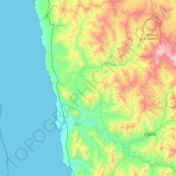
Name: Canela topographic map, elevation, terrain.
Location: Canela, Provincia de Choapa, Región de Coquimbo, Chile (-31.78684 -71.64687 -31.14179 -71.08583)
Average elevation: 1,654 ft
Minimum elevation: 0 ft
Maximum elevation: 6,762 ft