
Chiconcuac topographic map
Interactive map
Click on the map to display elevation.
About this map
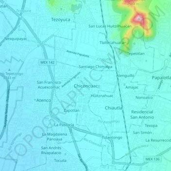
Name: Chiconcuac topographic map, elevation, terrain.
Location: Chiconcuac, Estado de México, 56280, México (19.51912 -98.93548 19.59912 -98.85548)
Average elevation: 7,418 ft
Minimum elevation: 7,323 ft
Maximum elevation: 8,602 ft
Other topographic maps
Click on a map to view its topography, its elevation and its terrain.
Río Coaxcacoaco
México > Estado de México > Chiconcuac
Río Coaxcacoaco, Xolache, Chiconcuac, Estado de México, 56100, México
Average elevation: 7,388 ft