
Warren topographic map
Interactive map
Click on the map to display elevation.
About this map
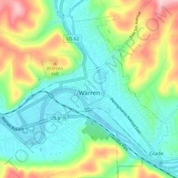
Name: Warren topographic map, elevation, terrain.
Location: Warren, Warren County, Pennsylvania, United States (41.82502 -79.17652 41.86488 -79.11169)
Average elevation: 1,407 ft
Minimum elevation: 1,158 ft
Maximum elevation: 1,959 ft