
Aquila topographic map
Interactive map
Click on the map to display elevation.
About this map
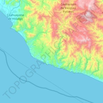
Name: Aquila topographic map, elevation, terrain.
Location: Aquila, Michoacán de Ocampo, México (18.08332 -103.71189 18.68546 -102.73777)
Average elevation: 1,703 ft
Minimum elevation: 0 ft
Maximum elevation: 9,347 ft