
Chinchilla de Monte-Aragón topographic map
Interactive map
Click on the map to display elevation.
About this map
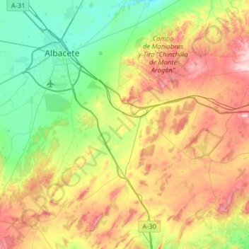
Name: Chinchilla de Monte-Aragón topographic map, elevation, terrain.
Average elevation: 2,671 ft
Minimum elevation: 2,162 ft
Maximum elevation: 3,586 ft