
Souleuvre topographic map
Interactive map
Click on the map to display elevation.
About this map
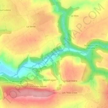
Name: Souleuvre topographic map, elevation, terrain.
Average elevation: 489 ft
Minimum elevation: 246 ft
Maximum elevation: 663 ft
Other topographic maps
Click on a map to view its topography, its elevation and its terrain.
Montfragon
France > Normandie > Calvados > Souleuvre-en-Bocage > Montfragon
Montfragon, Carville, Souleuvre-en-Bocage, Vire, Calvados, Normandie, France métropolitaine, 14350, France
Average elevation: 440 ft