
Çarşamba topographic map
Interactive map
Click on the map to display elevation.
About this map
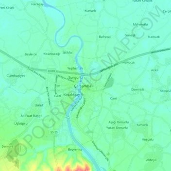
Name: Çarşamba topographic map, elevation, terrain.
Location: Çarşamba, Samsun, Black Sea Region, 55500, Turkey (41.15828 36.68895 41.23828 36.76895)
Average elevation: 69 ft
Minimum elevation: 20 ft
Maximum elevation: 249 ft